SafeRouteplus
The Core Problem: Speed vs. Safety
In today's fast-paced world, standard navigation tools like Google Maps or Apple Maps are inherently optimized for vehicles, efficiency, and speed. They are designed to get you from point A to point B as fast as possible. However, if you are a pedestrian walking home at night, the shortest route might take you through a poorly lit alleyway, an empty park, or a neighborhood with a high rate of recent incidents.
Simultaneously, existing personal safety apps are reactive. They rely on "panic buttons" that require you to reach into your pocket, unlock your phone, and manually trigger an alarm while you are already in active danger—which is often impossible. Furthermore, if your phone dies, gets destroyed, or loses cell service in a subway station, traditional safety apps become entirely useless.
SafeRoute+ bridges this gap by combining proactive, safety-first navigation with autonomous emergency escalation that works even when you can't touch your phone (or when you don't have internet access).
---
What People Can Use It For
SafeRoute+ is a daily companion for anyone who prioritizes personal security over saving two minutes on a commute. Key use cases include:
- Late-Night Commuters & Shift Workers: Safely navigating from a transit stop to home by choosing routes that are well-lit and populated, while giving a spouse or roommate a live tracking link.
- Students on Campus: Walking across large, empty university campuses at night with the Voice AI actively listening for signs of distress.
- Exploring Unfamiliar Cities: Tourists or business travelers navigating new environments without accidentally wandering into historically unsafe areas.
- Runners & Outdoor Enthusiasts: Providing peace of mind during solo runs, knowing that if they deviate from their route or stop moving, the system will autonomously alert their trusted contacts.
---
How SafeRoute+ Makes Existing Tasks Easier and Safer
SafeRoute+ completely reimagines the journey by removing the burden of manual safety checks and guesswork. Here is how it fundamentally improves existing tasks in full detail:
1. Safety-First Route Planning (No More Guesswork)
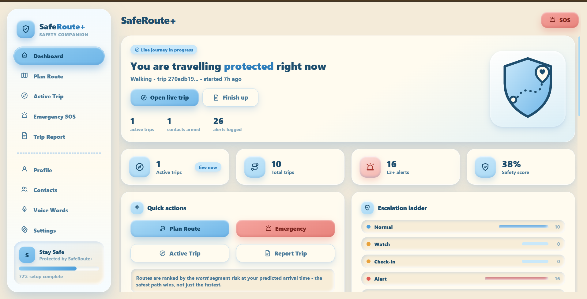
Instead of blindly following the fastest path, users are presented with routes ranked by a Machine Learning Safety Score. The app leverages an H3 spatial grid to analyze real-time community hazard reports, historical incident data, and environmental factors (like street lighting). The Route Compare feature allows users to easily visualize the trade-off between time and safety, empowering them to make conscious decisions about their path.
2. Proactive "Active Trip" Monitoring (Server-Side Escalation)
Instead of relying on a manual panic button, SafeRoute+ is proactive. Once a trip starts, the app quietly monitors your progress against your planned route.
- The Problem it solves: If someone takes your phone or it runs out of battery, you can no longer call for help.
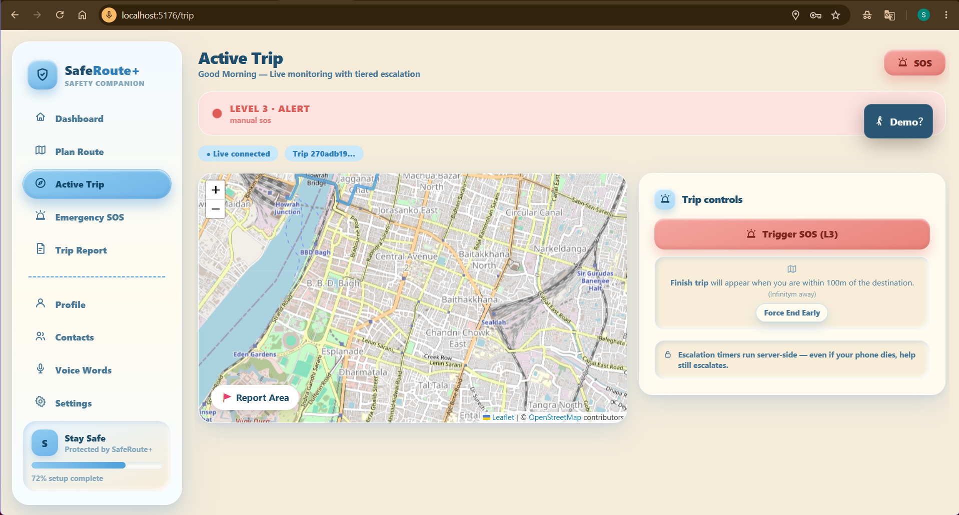
- The SafeRoute+ Solution: We use server-side timers. If you drastically deviate from your route, or if your GPS stops moving for an unusual amount of time, the server itself starts climbing a tiered escalation ladder (Level 0 to Level 4). Even if your phone is smashed to pieces, the cloud will eventually trigger a Level 4 SOS and dispatch your last known coordinates to your contacts.
3. Hands-Free AI Voice Monitoring
In a hostile situation, looking down at a screen or dialing a number is often dangerous.
- The Solution: SafeRoute+ utilizes continuous, on-device audio buffering powered by Groq, Whisper, and Llama-3. It actively listens in 5-second rolling windows for your custom "duress words" (e.g., "Pineapple"). Beyond simple keywords, the LLM analyzes the context and sentiment of background conversations. If it detects aggressive behavior or panic, it triggers a silent SOS with a discreet haptic vibration, requiring absolutely zero manual interaction from the user.
4. Offline BLE Mesh SOS (Protection in Dead Zones)
- The Problem it solves: Cellular dead zones (parking garages, subways, remote trails) render standard safety apps useless just when you feel most vulnerable.
- The SafeRoute+ Solution: We built a custom Bluetooth Low Energy (BLE) Mesh Network. If you trigger an SOS without internet access, your phone encrypts the distress signal and broadcasts it to nearby phones running SafeRoute+. Those phones silently relay the signal hop-by-hop across the community until it reaches a device with a cellular connection, which then uploads it to the cloud. You are never truly disconnected.
5. Smart, Tiered Contact Alerts (Avoiding Alarm Fatigue)
- The Problem it solves: Sharing your live location constantly can lead to "alarm fatigue," where friends and family stop checking your links because you are usually fine.
- The SafeRoute+ Solution: Contacts are organized into Priority Tiers (Primary vs. Secondary). During a normal trip (Level 0), Primary contacts get a soft notification that you are on the move. Secondary contacts are left alone. Contacts are only aggressively alerted with high-priority warnings if the system escalates to a Level 2 (Missed Check-in) or Level 3 (SOS). This ensures that when SafeRoute+ sends an alert, your loved ones know it's a real emergency.