MangroveLens
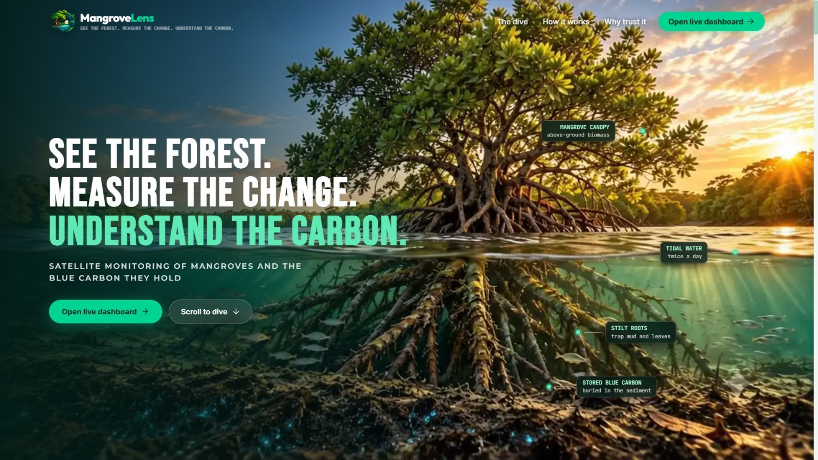
See Deeper. Measure Smarter. Protect Better.**
MangroveLens is an AI and satellite-based platform designed to monitor mangrove forests and understand their environmental changes over time.
Using Sentinel-2 satellite imagery, Google Earth Engine, CGMD historical data, and Random Forest classification, MangroveLens helps identify mangrove areas, detect forest gain and loss, analyze historical trends, estimate indicative blue carbon storage, and explore possible future scenarios.
 Key Features
- 🛰️ Sentinel-2 satellite-based monitoring
- 🌍 Google Earth Engine processing
- 🌿 AI-assisted mangrove classification
- 📊 Historical mangrove change analysis
- 📈 Gain and loss detection
- 🌱 Indicative blue-carbon estimation
- 🔮 Future mangrove trend scenarios
- 🤖 Gemini AI-powered natural-language insights
- 📄 Bengali & English reports
- 📱 WhatsApp sharing
- 🗺️ Interactive visualization dashboard
MangroveLens transforms complex satellite and environmental data into understandable insights that can support researchers, conservation teams, local communities, and environmental decision-makers.