CROpsentinel ai
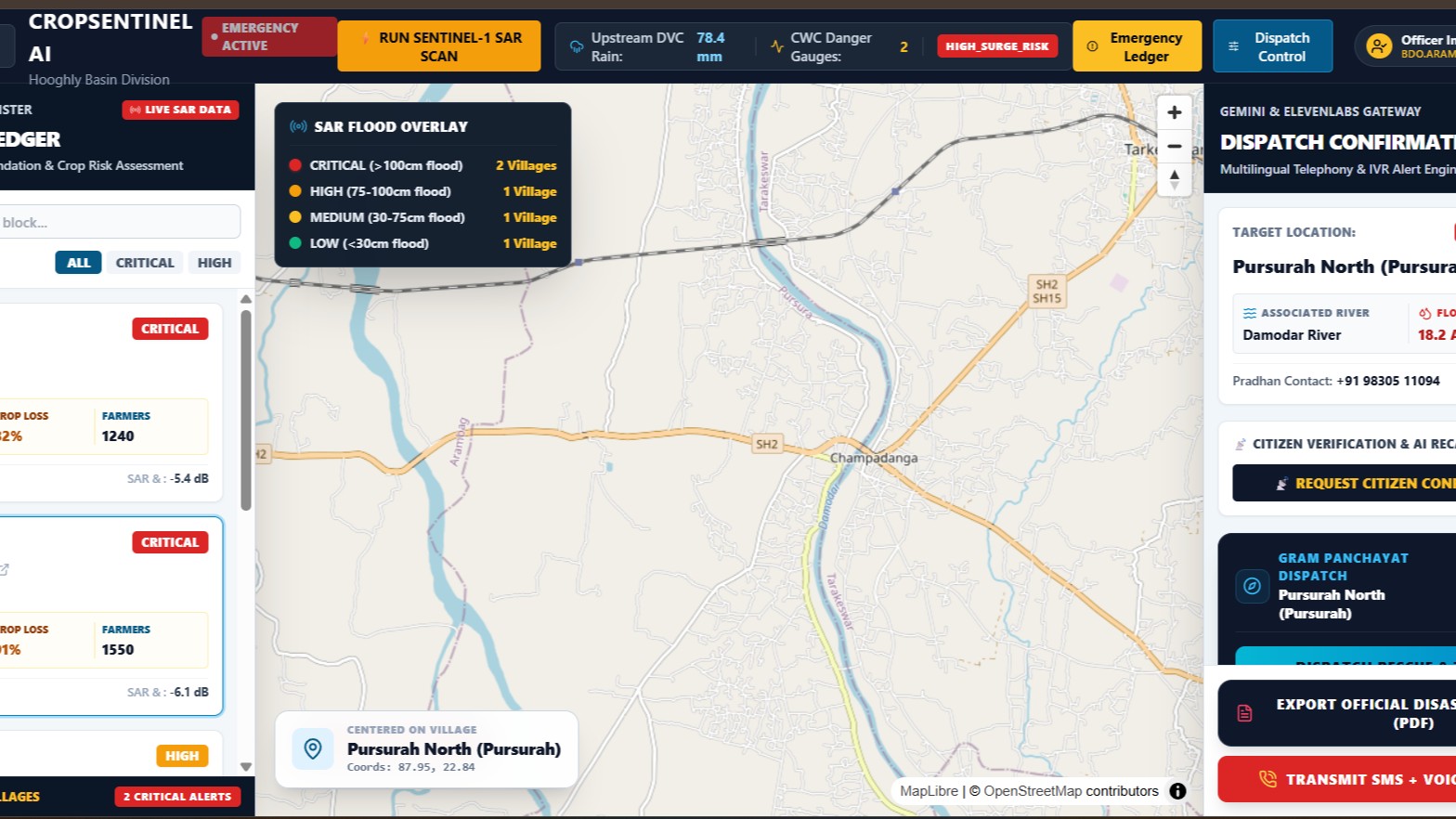
CropSentinel Al is an autonomous flood intelligence platform built for vulnerable agrarian river basins.
By processing all-weather Sentinel-1 Synthetic Aperture Radar (SAR) imagery, it penetrates cloud cover to map submerged croplands instantly.
The system quantifies standing crop destruction across Aman Paddy, Jute, and vegetables alongside household risk.
An Al-powered routing engine dynamically directs rescue operations from regional NDRF/SDRF depots along the shortest flood-safe paths.
Integrated with Gemini 2.5 Flash, the platform auto-generates localized Bengali SMS and voice advisories for rural farmers.
Field officers and Sarpanches can register directly via SMS telephony to receive real-time evacuation alerts.
The backend automatically compiles official damage assessment reports into downloadable West Bengal disaster management PDFs.
The frontend delivers an interactive satellite geospatial map canvas built on React 18, Vite, and MapLibre GL.
The backend runs on FastAPI backed by Supabase PostGIS spatial data and secured with Autho Universal Login.
CropSentinel Al bridges satellite Earth observation directly to Gram Panchayat disaster relief within minutes.